Explore's Gear Shop
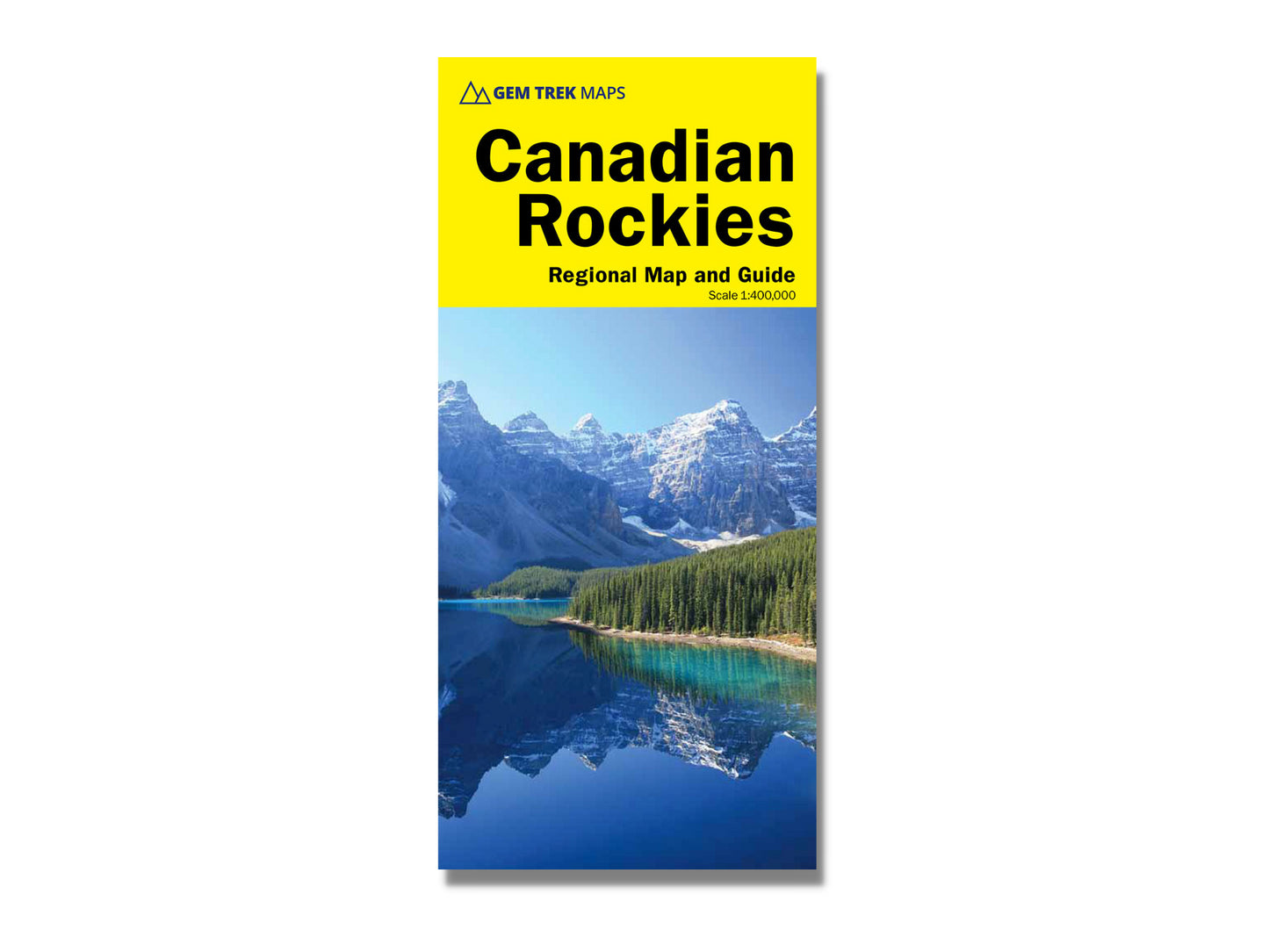
Canadian Rockies Regional Map & Guide
Canadian Rockies Regional Map & Guide
4.0 / 5.0
(1) 1 total reviews
Couldn't load pickup availability
Gem Trek's 12-edition Canadian Rockies Map is a must-have for anyone planning a trip to Banff, Jasper, Yoho, or Kootenay National Parks.
29 POINTS OF INTEREST: To make seeing the sights easier, 29 of the best points of interest in the parks are numbered and described. To help you find your way around, mountain lodges, campgrounds, hot springs, golf courses, ski resorts, picnic areas, visitor centres and highway viewpoints are labelled. A mileage chart helps you plan your day by giving distances between major towns.
MAP COVERAGE: Kootenay, and Yoho. Coverage extends beyond the national park boundaries to Hinton in the north, Glacier National Park in the west, Abraham Lake and Rocky Mountain House in the east, and Invermere and the Columbia Valley in the south.
URBAN DETAILS: On the back of the main map are street maps of Banff, Jasper, and Lake Louise. Inset maps of Western Canada and Calgary show major roadways, so you can easily find your way to the Canadian Rockies. In addition to street maps on the reverse side, we have included charts showing amenities at the national park campgrounds in Banff, Jasper, Yoho and Kootenay National Parks.
The Canadian Rockies Map includes:
- Relief shading to better show the topography
- Full colour on both sides
- Hydrology including rivers, rapids, glaciers, and waterfalls
- Mountain names and all available mountain elevations
- All campgrounds with a handy chart showing campground details
- Points of interest and attractions as well as picnic areas and highway viewpoints
Specifications:
Folded size: 25 cm x 11 cm
Flat size: 68 cm x 99 cm
Weight: 100 grams
Scale 1:400,000

EXPLORE'S GEAR SHOP BEST SELLERS
-
DETAILS
EXPLORE Magazine Subscription
Regular price From $32.00 CADRegular priceUnit price / per$25.00 CADSale price From $32.00 CAD -
DETAILS
Single Issue - Explore Magazine
Regular price From $7.95 CADRegular priceUnit price / per$7.95 CADSale price From $7.95 CAD -
DETAILS
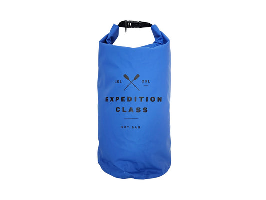
Perfect Paddling 20L Dry Bag
Regular price $24.95 CADRegular priceUnit price / per -
DETAILS
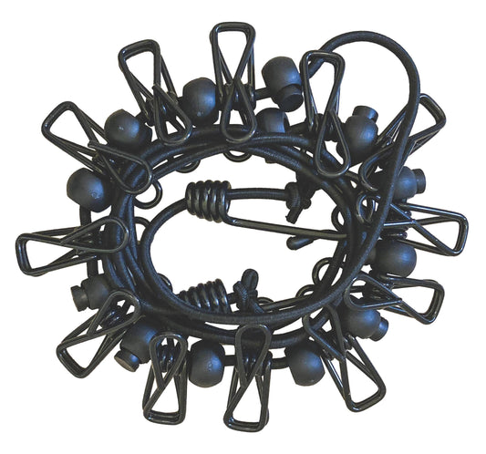
Camper Essential Clothesline
Regular price $16.95 CADRegular priceUnit price / per
As advertised


